


pic de rebequier

vincente204
User
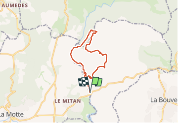

Length
12.6 km

Max alt
323 m

Uphill gradient
340 m
Km-Effort
17.1 km

Min alt
33 m

Downhill gradient
339 m
Boucle
Yes
Creation date :
2024-12-17 08:02:26.377
Updated on :
2024-12-17 13:33:20.774
5h19
Difficulty : Difficult

FREE GPS app for hiking
 SityTrail
IGN / Geographical institutes
SityTrail Plus
The world is yours!
About
Trail Walking of 12.6 km to be discovered at Provence-Alpes-Côte d'Azur, Var, Le Muy. This trail is proposed by vincente204.
Description
facile
Positioning
Country:
France
Region :
Provence-Alpes-Côte d'Azur
Department/Province :
Var
Municipality :
Le Muy
Location:
Unknown
Start:(Dec)
Start:(UTM)
305205 ; 4819667 (32T) N.
Comments